


Marshlands Conservancy in Rye is such an unspoiled piece of shoreline that I almost hesitate before writing about it. The 173 acres of meadow and salt marsh extend from Boston Post Road to Milton Harbor, and provide the only public access to a salt marsh in
Westchester County. I have visited here regularly for about a decade, and I never grow tired of it. Each visit seems to offer a different shade of light and color that remains unique.
Despite my familiarity with
Marshlands, I am always a bit confused when I start out on a walk there. The woods behind the visitors center are not clearly marked, and the first part of my walk is usually a blind ramble, until I reach a footbridge that crosses over to a meadow that borders the
Jay Heritage Center. From there, the walk becomes straight forward as the meadow leads to a sloped trail that overlooks the marshes and harbor.
At the bottom of the slope, a causeway divides the marshes and leads to an island that contains the ruins of a house which was destroyed by the
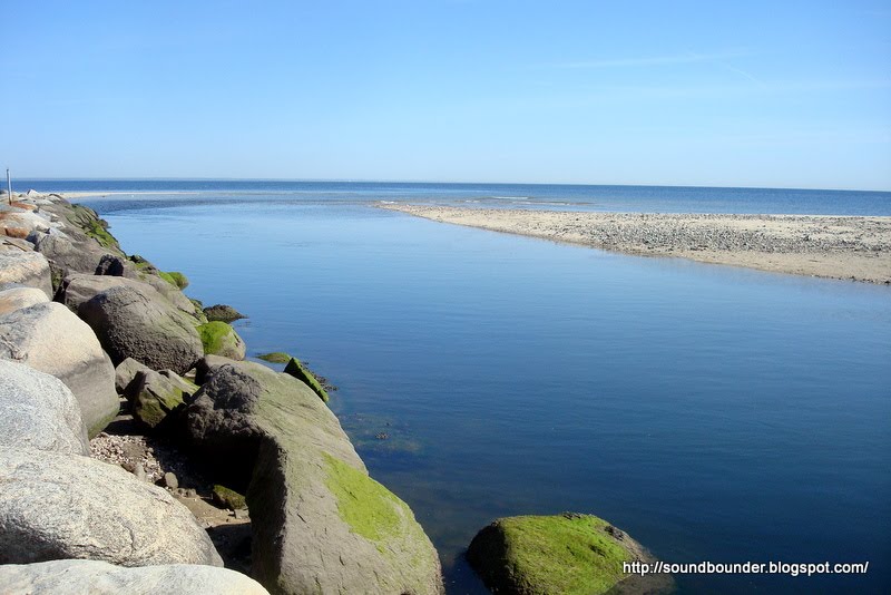
1938 Hurricane, and eventually a fire. When I visited in October, the sky was steel blue and contrasted beautifully with the oranges and browns of the autumn foliage. Several New York City buildings were visible on the distant horizon, while
Hen Island sat close and quiet, despite the recent
political uproar. I circumvented the island, eventually reaching a shaded area with rock outcroppings that meet the beach. Two young children and their nanny searched the shore for shells and small rocks, while an elderly woman with a large hat quietly painted the shoreline scene. This appears to be a popular spot for artists, and I have often stumbled upon them when visiting. One of these days I will try to put together a post featuring some of the paintings.
I continued walking the shoreline that switched several times from sandy beach, to marshy mud. Although the walk here is an easy one, good footwear is needed for some of the pathways that are often quite wet. I started my way back, taking one last look at Milton Point and the thinning, late season mooring field of the
American Yacht Club. When I reached the wooded area near the entrance, a deer stood in silence watching my every move. I stopped walking and slowly reached for my camera (see WebAlbum below). I took two shots before trying to zoom in closer, but it was too late. He turned his back to my camera, before letting out a snorting sound and running for the woods.
MARSHLANDS CONSERVANCY:
WebAlbumNYNJ Trail Conference:
Marshlands ConservancyMap


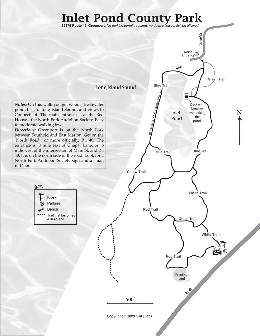